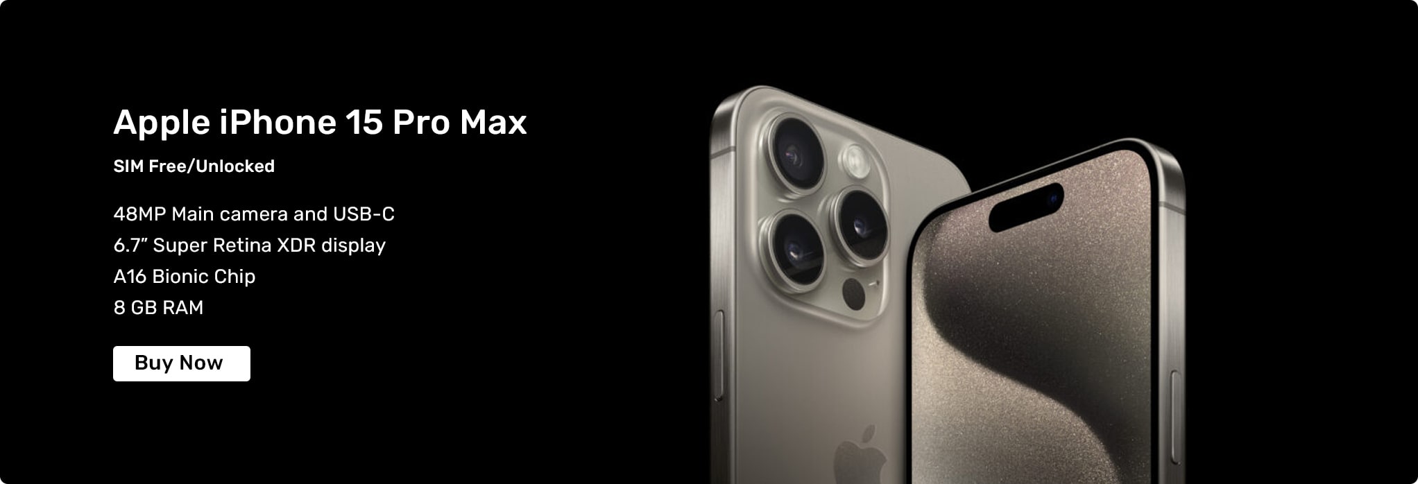
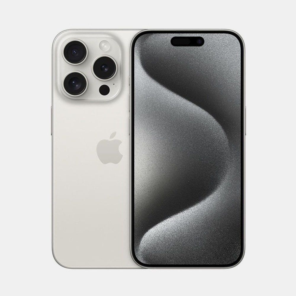
Apple iPhone 15 Pro Max White Titanium
£1,149.60
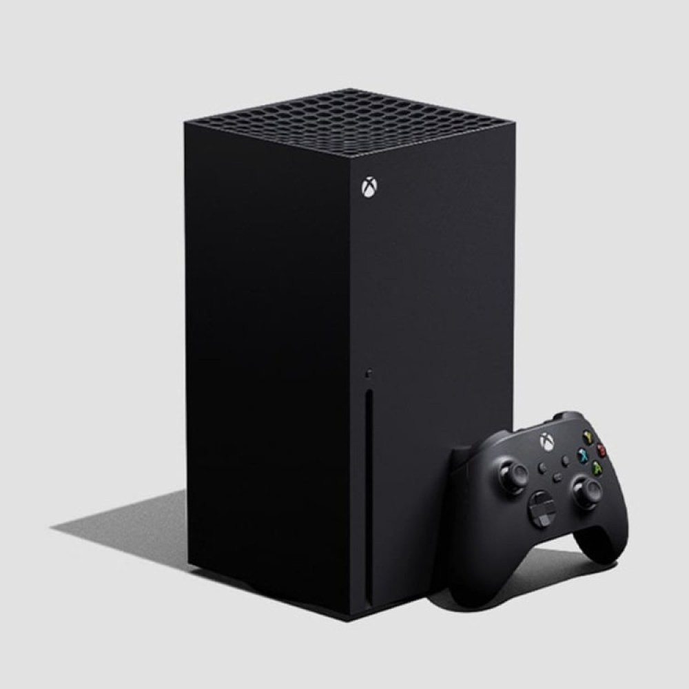
Microsoft Xbox Series X Black
£489.89
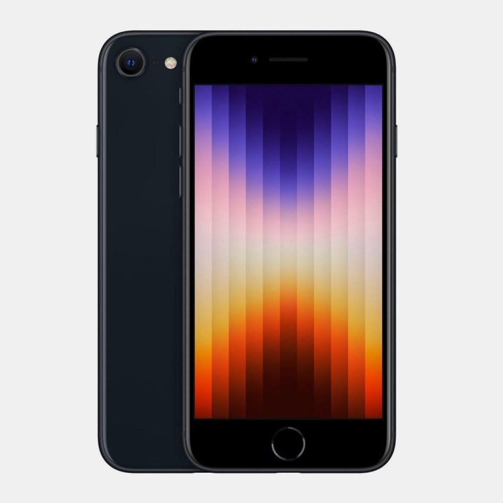
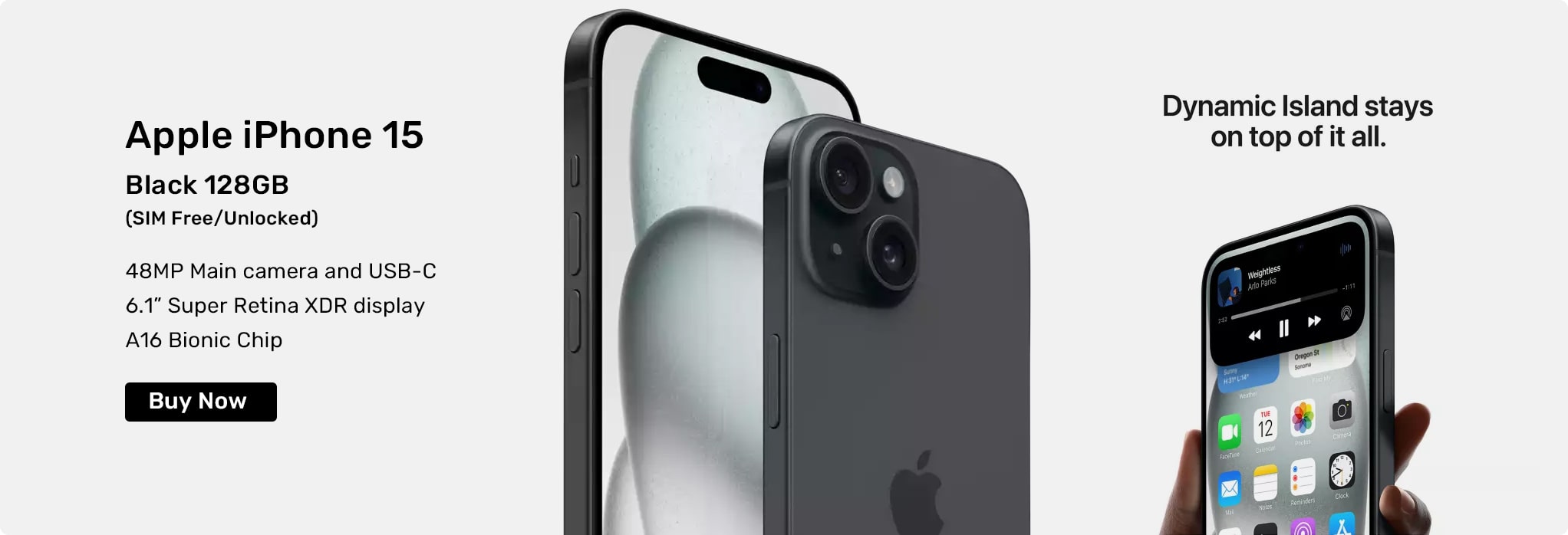
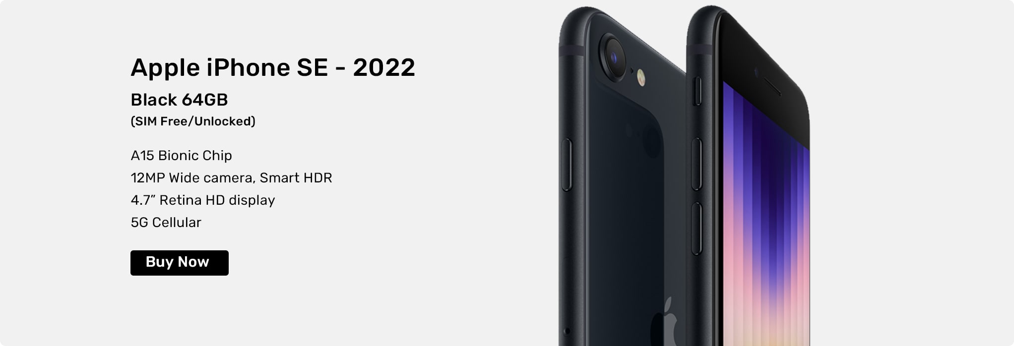
Apple iPhone SE (2022) 64GB
£389.88
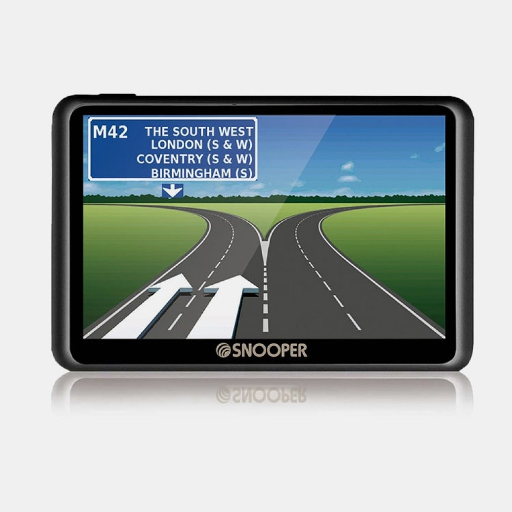
SNOOPER VENTURA S6900
£329.88
Google Pixel 8a Black
£449.89

SNOOPER DVR PRO
£198.89
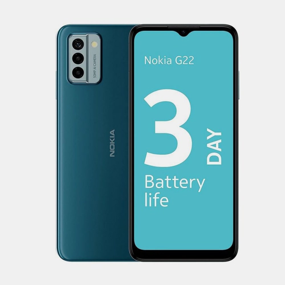
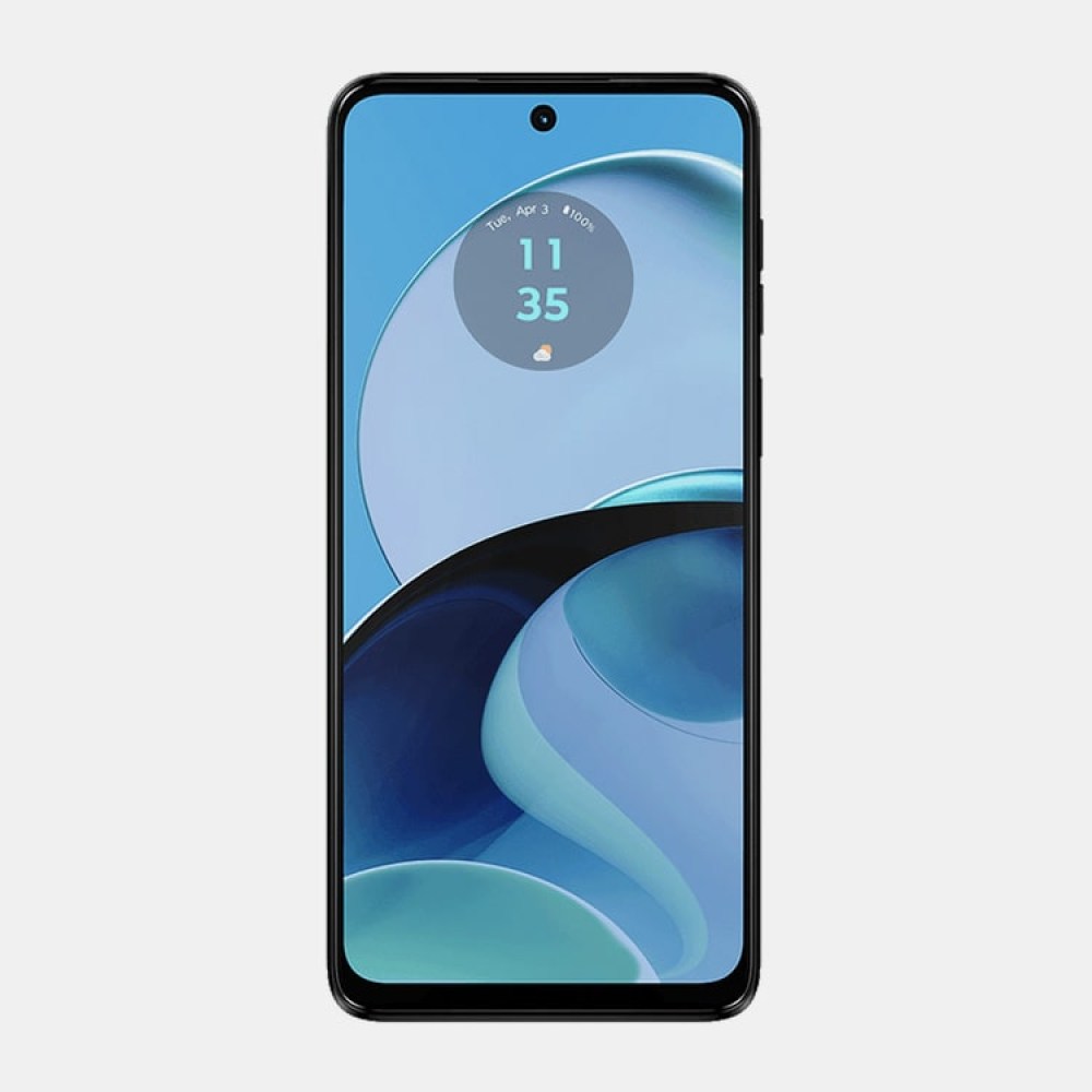
Nokia G22 Dual SIM TA-1528
£109.88
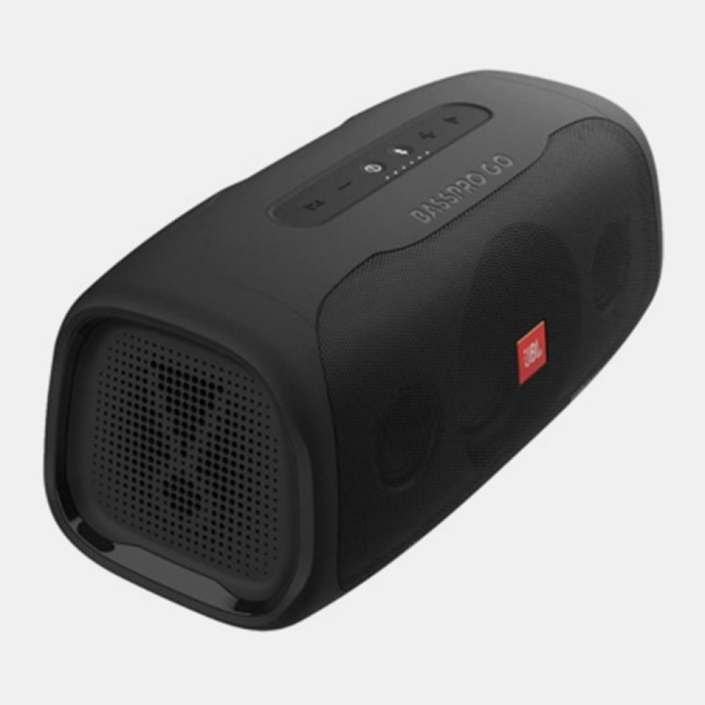
JBL BASSPRO GO
£449.88


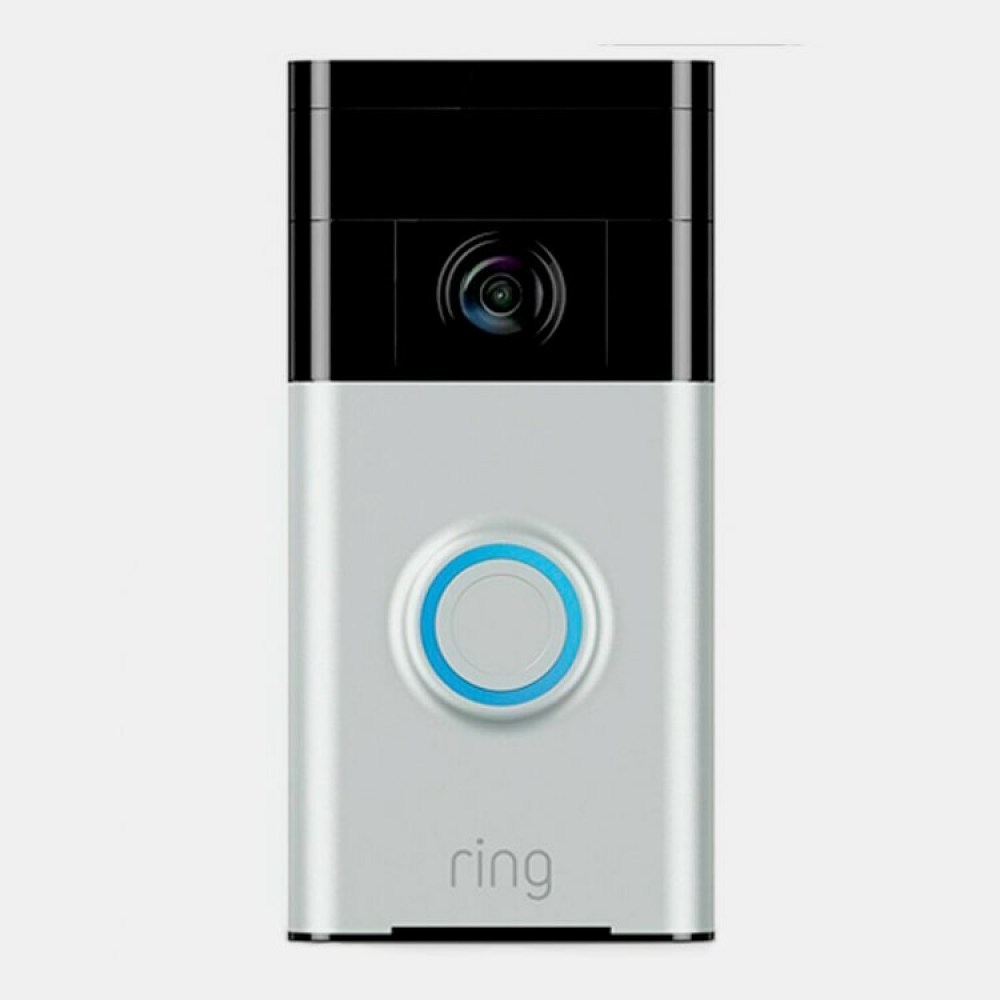
Ring Video Doorbell Satin Nickel
£109.89